


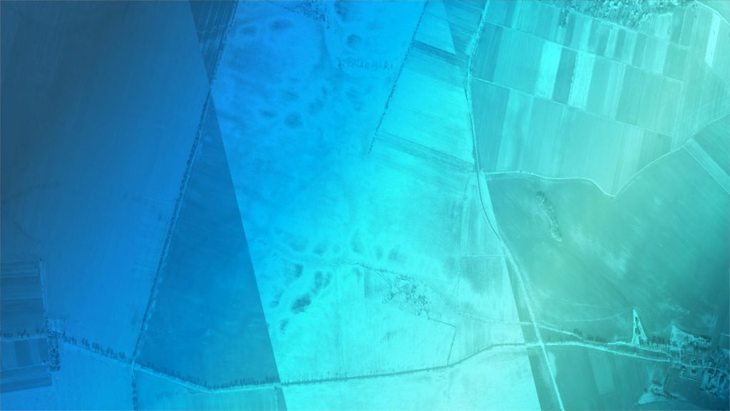


Copernicus Sentinel imagery
#Sentinel-2 for Agriculture
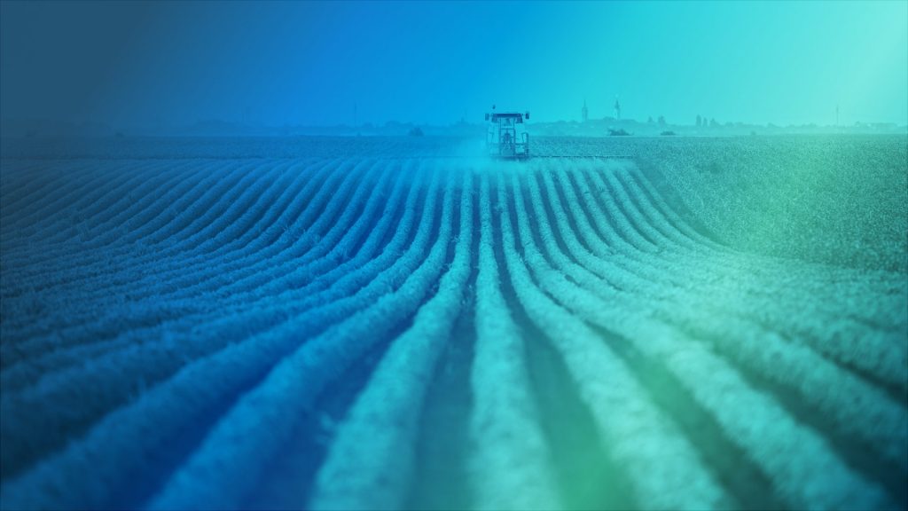
Agriculture plays a vital role in sustaining global food security and economic growth.
By providing nourishment for both human and animal populations, as well as materials for industrial processes, agriculture is a key contributor to both human well-being and environmental sustainability.
However, to ensure that agricultural production can continue to meet the needs of a growing global population, accurate and reliable data is essential.
This challenge aims to utilise Copernicus Sentinel imagery to map cultivated land and develop innovative solutions for extracting as much information as possible from the native 10-meter per pixel resolution. The participants will be tasked with identifying agricultural areas smaller or narrower than a Sentinel-2 pixel, and will be required to produce output datasets on a specific area of interest in Slovenia.
This challenge is a collaboration between the Data Science in Earth Observation department at TUM/DLR, and aims to advance our understanding of the agricultural landscape and support sustainable food production.
Why register?
Code the future
Your ideas could make a difference. Imagine how you can revolutionise agriculture with Copernicus Sentinel 2 imagery
Hone your skills
Gain hands-on experience while innovating with data & advance your skills
Expand your network
Meet fellow enthusiasts from inside and outside the European space ecosystem & gain networking experience to grow your connections
How to join
Submit your solution and unleash the power of Sentinel 2 imagery