


Our first ESA Φ-lab Third Party challenge…#AI4FoodSecurity
Remote sensing is entering a new era of time-series analysis. Daily revisit times of satellites allow for near real-time monitoring of many areas across the globe. However, there has been little exploration of deep learning techniques to leverage this new temporal dimension at scale. Especially, existing approaches have struggled to combine the power of different sensors to make use of all available information.
To stimulate innovation in Spatio-temporal machine learning, Planet, TUM, DLR, and Radiant Earth partnered up to propose a unique challenge centered around modeling vegetation phenology from near-daily, harmonized time series of Planet Fusion and Sentinel Imagery.
The goal of this challenge was to classify crop types based on time series data from Sentinel-1, Sentinel-2 and Planet Fusion Monitoring Data. The datasets provided presented two main challenges to the community: exploit the temporal dimension for improved crop classification and ensure that models can handle a domain shift to a different year.
Why
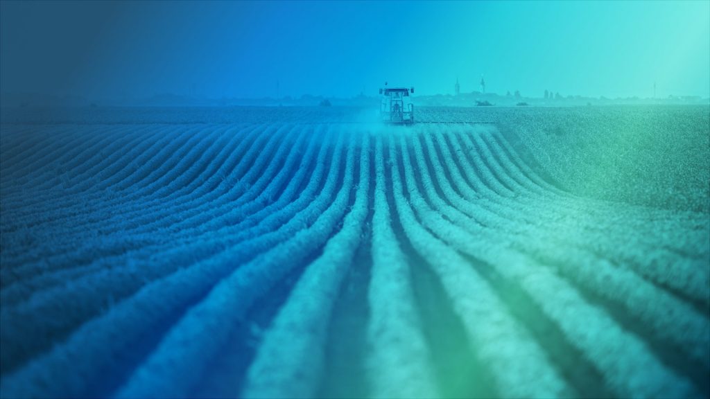
Crop classification through remote sensing can provide relevant information for land management and food security
Satellite remote sensing has been the go-to tool when it comes to measuring global trends in vegetation, as the measurements are both global and temporally frequent
There has been little exploration of deep learning techniques to leverage near real-time harmonised time series at scale
Earth observations can generate valuable data for monitoring a number of indicators on our planet. Deep Learning can help extract meaningful information from that data
Existing approaches have struggled to combine the power of different sensors to make use of all available information
How about exploring time series data from Sentinel-1, Sentinel-2, and Planet Fusion Monitoring Data?