


Our 2nd ESA Φ-lab challenge… #AI4Sentinel2
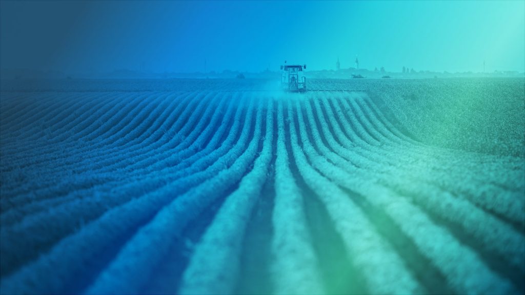
Agriculture plays a central role globally by providing food for humans and livestock or material for industrial processes. It is a driver of economic growth and will play an essential role in reducing the impact of climate change and greening our economies. Accurate and reliable agricultural data is therefore paramount to ensure food security and global subsistence.
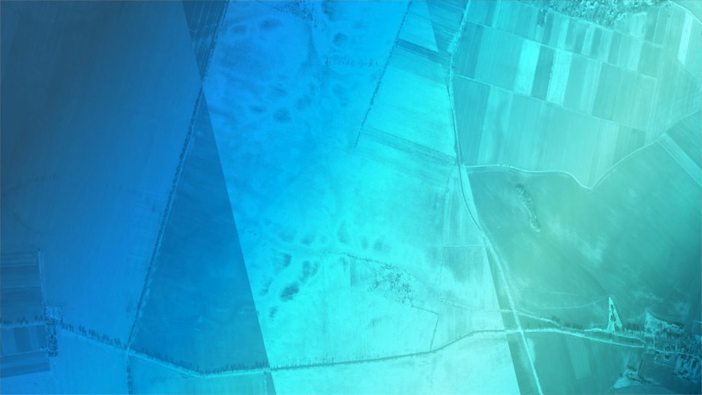
The goal of this challenge is to map cultivated land using Copernicus Sentinel imagery and to develop solutions to extract as much information as possible from the native 10-meter per pixel resolution. The aim was to identify agricultural areas smaller or narrower than a Sentinel-2 pixel.
Why
EO data has become an invaluable source of information in many application areas, providing global coverage at high spatial and temporal resolutions
The data has proven especially suited to monitor agricultural activities, allowing to increase productivity, limit the use of fertilisers and pesticides and augmenting the impact of corrective interventions
The imagery acquired by the Copernicus Sentinel satellites, which is available on a free and open basis, has opened up new and unique opportunities
However, despite the quality and value of Sentinel data, factors such as cloud coverage, resolution and processing limitations tend to hamper their uptake. This limitation is something we would like to tackle
The fragmented agricultural parcels which dominate the landscape in many areas of Europe represent a challenge for sustainable land management
Is your method the best to detect small parcels in Sentinel 2 pixels? The most successful methods could be eventually considered for benchmarking currently used methodologies