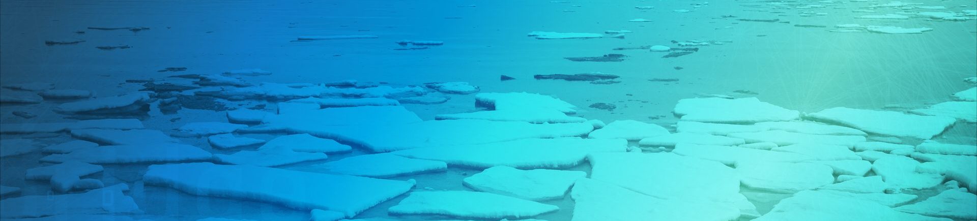
Mapping the Arctic…
#AutoICE Challenge
🧐 What’s the competition about?
An extraordinary challenge was created to bring together Artificial Intelligence (AI) and Earth Observation (EO) players to address the challenge of “automated sea ice mapping” from Sentinel-1 SAR data.
The Norwegian Computing Center, the Danish Meteorological Institute (DMI), the Technical University of Denmark (DTU), Polar View, Nansen Environmental Remote Sensing Center (NERSC) and the European Space Agency (ESA) have joined forces to derive more robust and accurate automated sea ice maps, and to advance the capability of retrieving multiple parameters, including sea ice concentration, stage of development, and floe size (form). This challenge aims to harness the collective expertise and innovation of the AI and EO community to make significant strides in understanding and monitoring sea ice.
Context
It is also challenged by an increasing amount of available satellite imagery, along with a growing number of users accessing wider parts of the Arctic due to the thinning of the Arctic sea ice.
Automated sea ice charting process can provide users with near-real-time sea ice products of higher spatial resolution, larger spatial and temporal coverage, and increased consistency.
ℹRead more here
😉 What’s in it for you?
The AI4Arctic challenge created an engaged community willing to improve and understand the importance of the Arctic sea ice.
Participants got the chance to be offered not only a prize from the AI4EO sponsored prizes, but an invitation to present your winning solution to the challenge expert team. It is a unique chance to discuss and receive feedback from the AI and sea ice domain experts.
- The #1 winner/winning team received EUR 3,000
- The other winners received AI4EO points
The final score on the platform leaderboard decided the winners of the challenge.
🏆Check out the prizes details here!
❗ Important info!
The AutoICE challenge took place online from 1 November 2022 to 17 April 2023.
Participants must be over 18, or of legal age in your jurisdiction.
Anyone from all over the world can participate in the challenge, however, we advise you to check the prizes section to verify whether you are eligible to receive a prize.
Watch the video!
Learn more about the challenge and the basics to get started.
Why
Advance state-of-the-art of sea ice mapping
Contribute to the automation of sea ice mapping to achieve robust and accurate sea ice maps.
Explore the potential of space data and AI
Develop an innovative solution to build automated mapping to achieve the highest image resolution of the arctic sea ice
Create a safer navigation and maritime industry
Take the chance to create near-real-time sea ice products of larger spatial and temporal coverage, increasing the consistency and reliability of sea ice mapping
The winning teams
1st place
Waterloo University Teams
2st place
PWGSN
3st place
sim
Learn about their solutions
We celebrated these teams’ outstanding performance and ideas with the #AutoICE Winner’s Event.
Watch the on-demand recording of the event where the top 3 teams got to present and discuss their ideas with a panel of AI and sea ice domain experts.
Congratulations to the winning teams and everyone else who partook in the challenge. ❄️